Tag Archives: Salal Trail

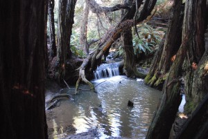
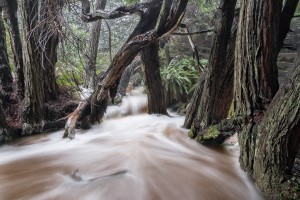
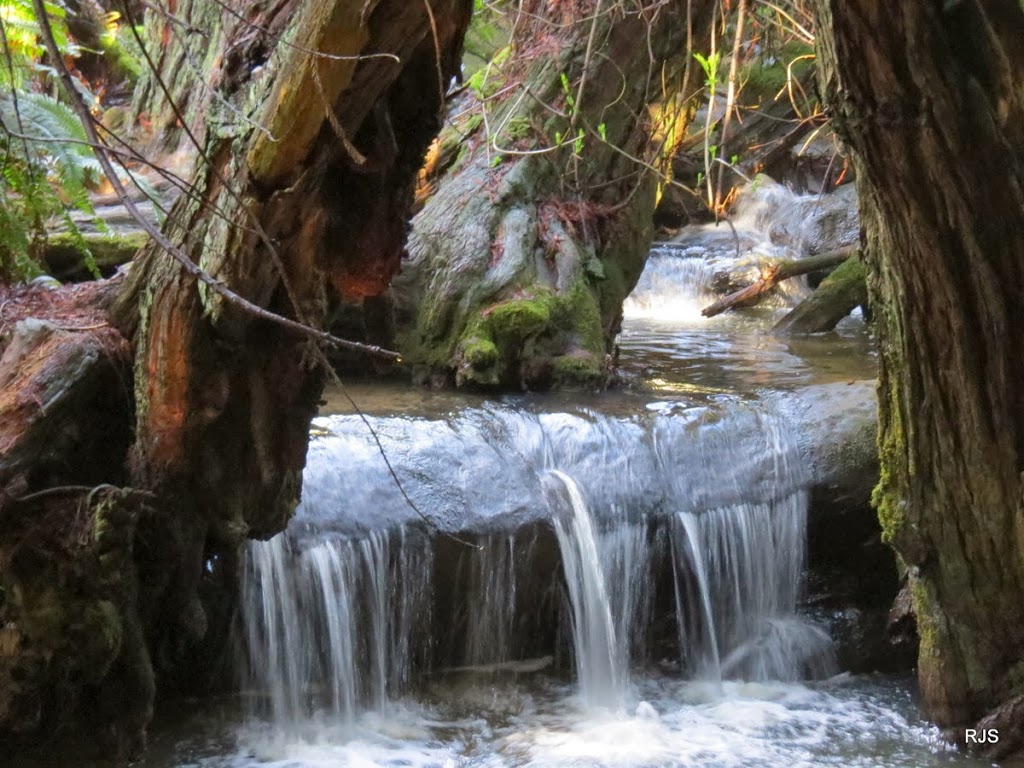
The Salal Trail waterfall is very beautiful. When winter rains really get it going, it is something to behold. Paul Kozal photographed it a few weeks ago after the wonderful storms we had.

Salal Trail Waterfall by Paul Kozal

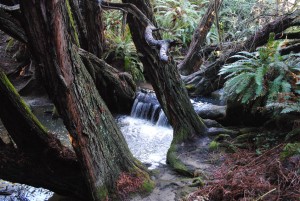
Of course Paul is a professional photographer and able to take a photo like this. I, on the other hand, am not a professional. But I did get two nice photos of the waterfall several years ago.

View of waterfall on Salal Trail by Jeanne Jackson (Medium) Waterfall on the Salal Trail by Jeanne Jackson (Medium)

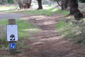
The Salal Trail is a public access trail that begins at Gualala Point Regional Park. After the pay station, turn into the parking area on the left and look for this trailhead sign.

Beginning of Salal Trail by Jeanne Jackson (Medium)

It is a wonderful trail that eventually ends at a small beach.

Thanks to Paul for allowing me to share his photo with you here. To see much more of Paul's photography, here is his website: http://paulkozal.com/

1 Comment

The Salal Trail is a public access trail that starts at Gualala Point Regional Park. Once you pass the pay station, park at the first parking area on the left. The trail head is to the left. The trail goes between Highway One and The Sea Ranch Golf Links. It then turns west, meandering through some lovely trees and bushes. The trail eventually brings you to a very special waterfall. Robert Scarola hiked the trail just after one of the big February rain storms. This is what he found.

It's a magical place to visit when the creek is full. The trail eventually ends at a small beach, a perfect end to a wonderful trail.

Thanks to Robert for allowing me to share his photo with you here.

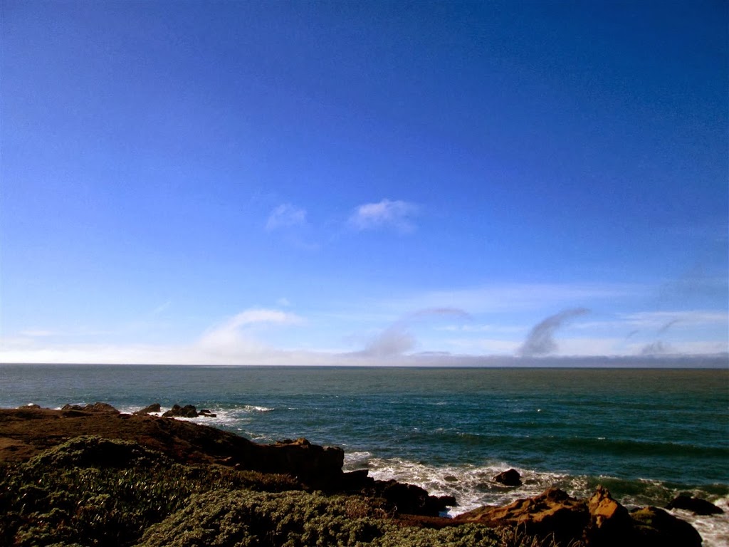
Roberta wrote, “I saw these interesting clouds off the Bluff Trail near Salal Beach [on The Sea Ranch]. I just found out from a fascinating TED talk by Gavin Pretor-Pinney that they’re Kelvin-Helmholtz clouds.”

Kelvin-Helmholtz clouds are also called billow clouds. Park Aide Roberta saw some from the Salal Trail on The Sea Ranch.

Roberta learned more about these clouds from a TED talk by Gavin Pretor-Pinney. Here's the link to that talk: http://www.ted.com/talks/gavin_pretor_pinney_cloudy_with_a_chance_of_joy.html

I sent this photo to Ken Holmes and he wrote, "It is produced as the speaker, Gavin Pretor-Pinney, explains by wind shear (or varying speed) that flows within and above these stable-type clouds."

Thanks to Roberta for allowing me to share her photo with you here. Cloud watching is a Coast tradition!

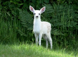
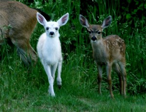
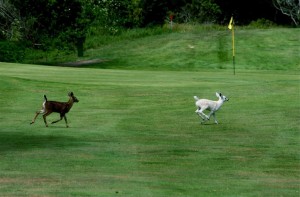
The last time we had a white fawn on the Mendonoma Coast was 2009. A white fawn, with its normal colored twin, was born somewhere near the Salal Trail. They can often be seen near the 9th hole of the golf course. Roland Coombs got some wonderful shots of this special fawn.

 Here it is with its sibling.

 And below you will see the fawns racing across the golf course.

 And here you can see the white fawn is starting to color up. It is considered a towhead, not an albino.

Thanks to Rolly for allowing me to share his photos with you here.

1 Comment

As I posted yesterday, Rick and I were recently shown how to access the Salal Trail. It turns out the trail starts at Gualala Point Regional Park. It makes sense because there is public parking there. Of course you will have to pay a parking fee or, like us, buy an annual Sonoma County Parks pass. You drive by the pay station and and turn to the left into the small parking area. (Note: There are two small parking areas at the entrance. You want the second one in. If you traveled more than 20 yards from the pay station, you've gone too far.) Here is where you will find the beginning of the trail. Who knew?

 The sign below tells you to look for signposts with this symbol on them. You will need to look for them to help guide you along the way.

 Here's the Salal Trail where it runs in-between Highway One and the golf course fence. I had no idea there was a trail down in this swale.

 This is one of the sign posts to watch for. You will cross the golf course driveway entrance. The lines on the driveway, which delineate the trail, are almost gone.

At the end of the golf course fence the trail will veer west and you will go down a wooden staircase. The trail  crosses Leeward. Don't take the wide golf course path, which goes right or left. Stay straight on the narrow Salal Trail. Below is the beautiful waterfall that you will find about halfway down.

 I hope you will experience this beautiful trail for yourself soon! My best to you, Jeanne Jackson