Tag Archives: Gualala Point Regional Park

5 Comments

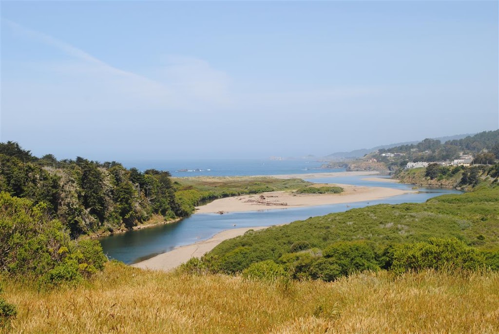
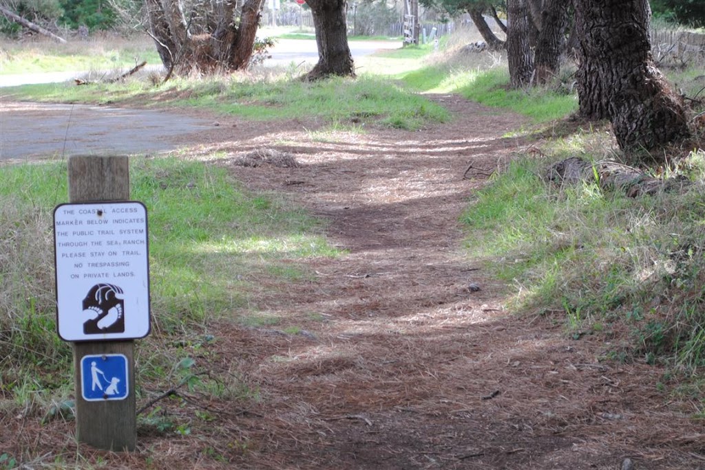
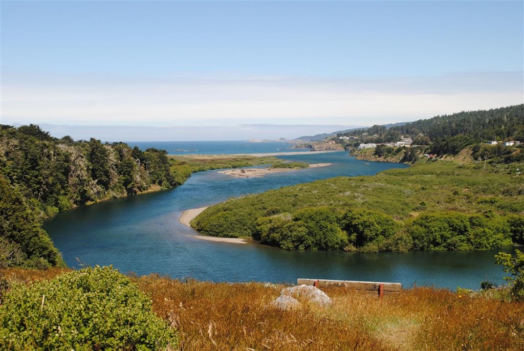
The wild Gualala River did finally close to the Pacific and is now full. You can see from the photo below that the river is particularly beautiful right now. What a nice place to put a bench! When you enter Gualala Point Regional Park you will come to a parking area on the left. Park, cross the road and walk towards the river to find this bench.

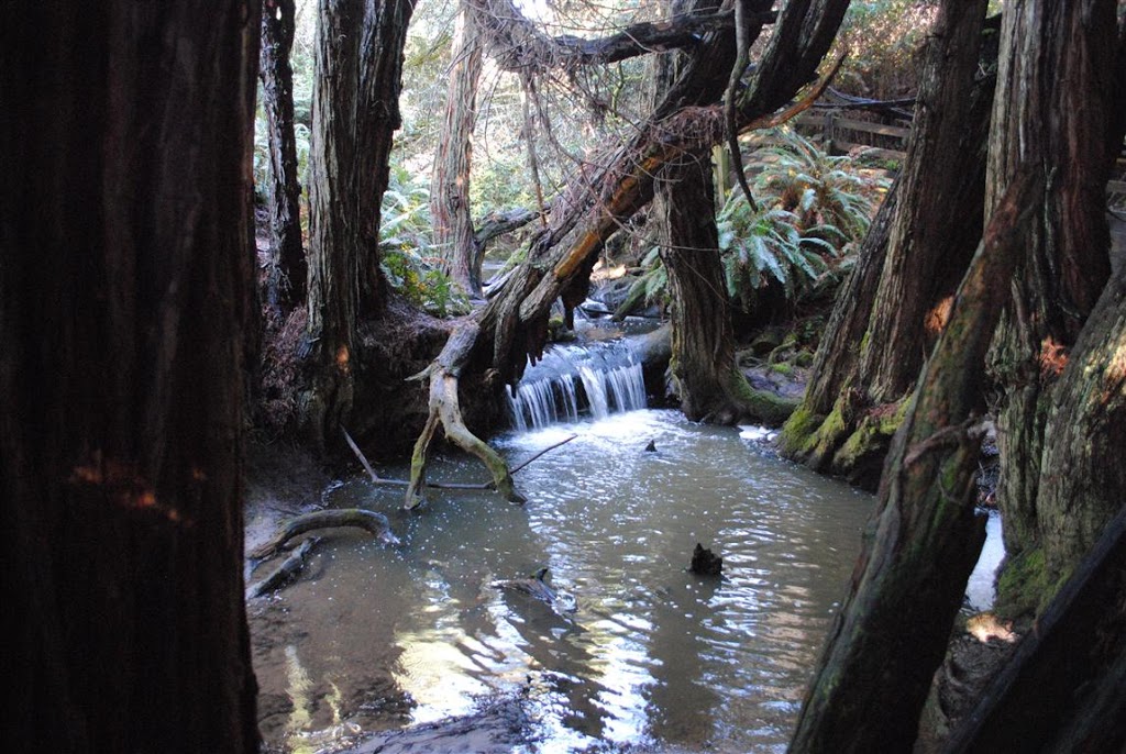
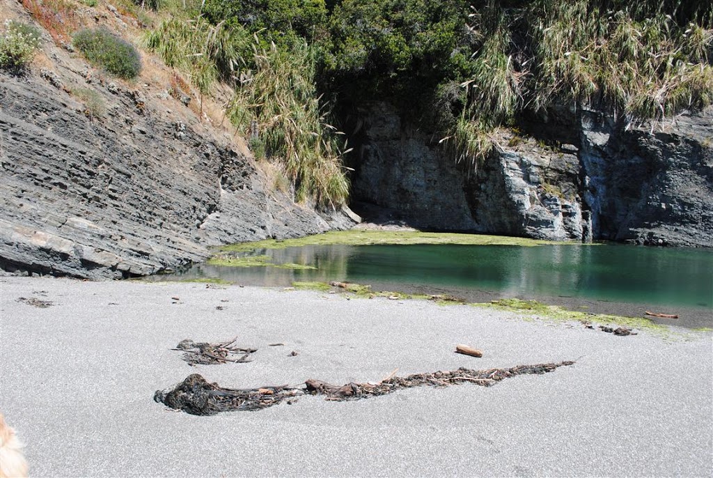
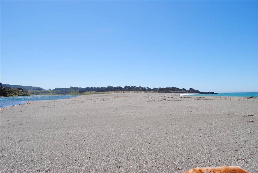
Rick and I, with our golden retriever, Huckleberry, on leash walked down to the beach and all the way to the north end to see what it looked like. This is where the river usually is open but you can see the sandbar has built up enough to close the river. It won't open again until there are enough winter rains.

Rick is looking at the river from the sandbar. Once closed the river is extremely safe for kayaking and other water sports.

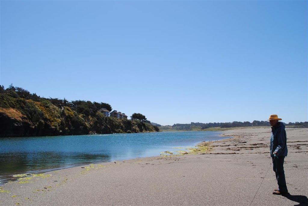
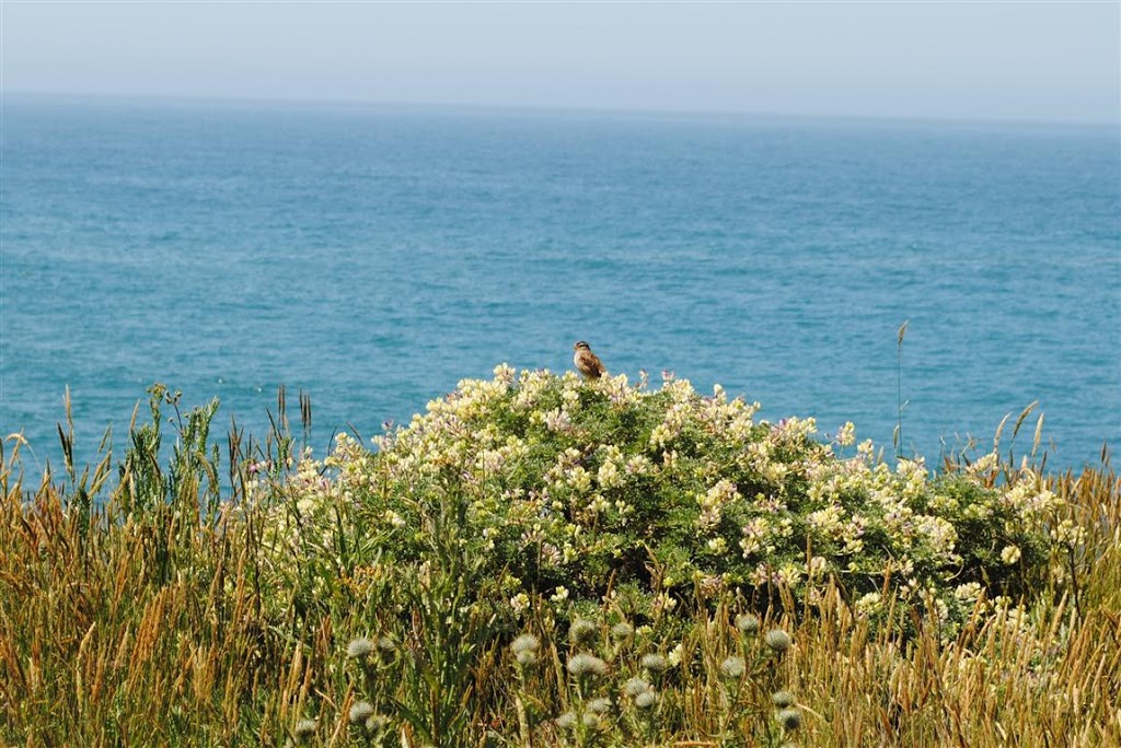
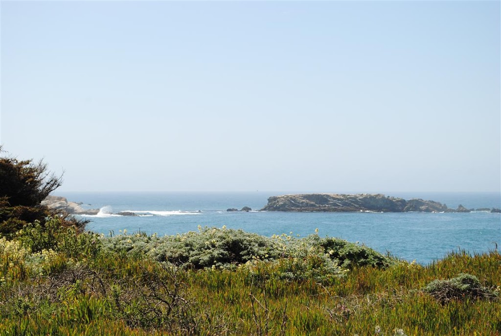
Here's a photo of the river on the left and the Pacific Ocean on the right - and a glimpse of Huckleberry's back.

It's very windy today but this weekend is suppose to be fantastic weather-wise. It would be a great time to visit and see some of these places for yourself.

On a visit to Gualala Point Regional Park on Thursday, Rick and I hiked along the bluffs. It was a warm beautiful day with little wind. I always bring a jacket when I head to the ocean but I didn't need it that day! The sweet song of a White-crowned Sparrow caught our attention and there he was sitting on top of a Lupine bush. In the warmth the smell from the Lupines was sweet indeed.

 Can you see what is in the photo below? Only Huckleberry's interest and a flash of movement alerted us that something was there.

 Here is a close-up of what Huckleberry saw - a snake in the grass. It was a long one too, well over a foot and a half long.

 And keeping with the hard to see theme, can you see the Deer looking at us? The grasses at the park are lush and full of feed. The Deer at the park are going to be very healthy.

 And lastly, here's a photo of Gualala Point Island, an important rookery for nesting seabirds.

It costs $7.00 for the day use fee. We purchased a Sonoma County Parks annual pass, which we use regularly. It is also good at all the Sea Ranch public access trails.

What I haven't shown you here is the beautiful beach at the park. That will have to wait for another post.

Last week on Thursday Rick and I were surprised to see the Gualala River had reopened. It was drained about as low as we've seen it. The water was crystal clear and Rick saw a Steelhead swim by. This is how it looked from the pull-out at Gualala Point Regional Park last week.

 And this is what it looked like a week later. The river is closed and starting to fill up. It's a wonderful river to kayak or paddle on those new SUPs, stand up paddles.

To rent a kayak, canoe or SUP, Adventure Rents is the place to call - http://www.adventurerents.com/

Mother Nature was a drama queen yesterday. Rain, hail, wind, crashing surf, brilliant sunshine and rainbows. Yes, Sunday had it all, weather-wise. But any day you see rainbows is a good day.

Peggy Berryhill was out walking her dogs at Gualala Point Regional Park mid-morning when she was gifted with this rainbow. Lucky for us, she photographed it and has allowed me to share it with you here.

That's a peek of the Gualala River to the right. Further to the right is the town of Gualala, all embraced by a lovely rainbow.

Peggy is the General Manager of Gualala's newest radio station, KGUA, 88.3 FM.
http://www.kgua.org/ You can hear me on Peggy's Place every third Thursday of the month at 9:08 am.

1 Comment

As I posted yesterday, Rick and I were recently shown how to access the Salal Trail. It turns out the trail starts at Gualala Point Regional Park. It makes sense because there is public parking there. Of course you will have to pay a parking fee or, like us, buy an annual Sonoma County Parks pass. You drive by the pay station and and turn to the left into the small parking area. (Note: There are two small parking areas at the entrance. You want the second one in. If you traveled more than 20 yards from the pay station, you've gone too far.) Here is where you will find the beginning of the trail. Who knew?

 The sign below tells you to look for signposts with this symbol on them. You will need to look for them to help guide you along the way.

 Here's the Salal Trail where it runs in-between Highway One and the golf course fence. I had no idea there was a trail down in this swale.

 This is one of the sign posts to watch for. You will cross the golf course driveway entrance. The lines on the driveway, which delineate the trail, are almost gone.

At the end of the golf course fence the trail will veer west and you will go down a wooden staircase. The trail  crosses Leeward. Don't take the wide golf course path, which goes right or left. Stay straight on the narrow Salal Trail. Below is the beautiful waterfall that you will find about halfway down.

 I hope you will experience this beautiful trail for yourself soon! My best to you, Jeanne Jackson